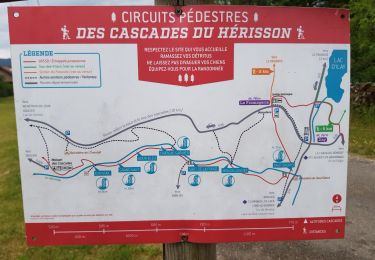
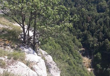
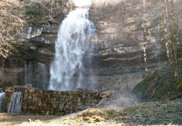
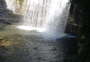
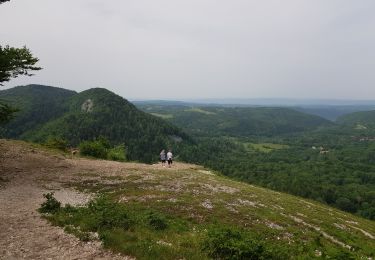
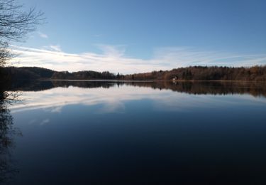
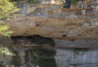
15,4 km | 20 km-effort
Le hérisson par tous les côtés
yves62410
Utilisateur
Longueur
15,2 km
Altitude max
822 m
Dénivelé positif
481 m
Km-Effort
22 km
Altitude min
536 m
Dénivelé négatif
476 m
Boucle
Oui
Date de création :
2019-08-08 08:51:12.0
Dernière modification :
2019-08-09 09:52:48.257
6h26
Difficulté : Très difficile
Application GPS de randonnée GRATUITE
À propos
Randonnée Marche de 15,2 km à découvrir à Bourgogne-Franche-Comté, Jura, Le Frasnois. Cette randonnée est proposée par yves62410.
Description
Chemin fermé
Localisation
Pays :
France
Région :
Bourgogne-Franche-Comté
Département/Province :
Jura
Commune :
Le Frasnois
Localité :
Unknown
Départ:(Dec)
Départ:(UTM)
720619 ; 5166648 (31T) N.
Commentaires
Randonnées à proximité
Cascades du Hérisson et les 4 lacs
Marche
Moyen
(1)
Le Frasnois,
Bourgogne-Franche-Comté,
Jura,
France
4h 35min
Non
Les cascades du Hérisson : Boucle du randonneur
Marche
Moyen
(3)
Menétrux-en-Joux,
Bourgogne-Franche-Comté,
Jura,
France
14,5 km | 20 km-effort
5h 10min
Oui
Le Hérisson et ses cascades
Marche
Moyen
(7)
Menétrux-en-Joux,
Bourgogne-Franche-Comté,
Jura,
France
11,9 km | 17,6 km-effort
4h 0min
Oui
Cascades du Hérisson 13.7.24
Marche
Facile
Menétrux-en-Joux,
Bourgogne-Franche-Comté,
Jura,
France
8,5 km | 13 km-effort
2h 30min
Non
Lac de Narlay - Pic de l'Aigle
Marche
Moyen
Le Frasnois,
Bourgogne-Franche-Comté,
Jura,
France
16,3 km | 22 km-effort
7h 1min
Oui
lacs des maclut
Marche
Très facile
(1)
Le Frasnois,
Bourgogne-Franche-Comté,
Jura,
France
9,6 km | 12,1 km-effort
2h 1min
Non
pic de l''aigle - la Chaux-du-Dombief
Marche
Très facile
(1)
La Chaux-du-Dombief,
Bourgogne-Franche-Comté,
Jura,
France
6,3 km | 9,2 km-effort
Inconnu
Non
La Fromagerie
Marche
Moyen
Le Frasnois,
Bourgogne-Franche-Comté,
Jura,
France
13,1 km | 16,4 km-effort
3h 27min
Oui
Pic de l'Aigle 14.7.24
Marche
Facile
Le Frasnois,
Bourgogne-Franche-Comté,
Jura,
France
9,5 km | 13,7 km-effort
3h 0min
Oui